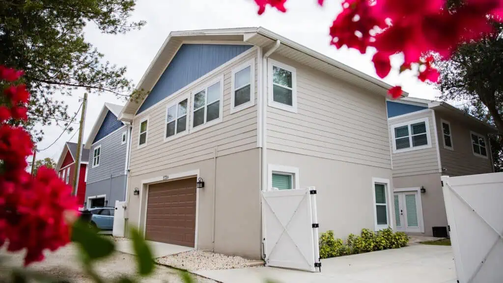
St. Petersburg is launching a new Geographic Information System (GIS) mapping tool to help homeowners quickly determine if they can build an Accessory Dwelling Unit (ADU) on their property. The city aims to make it easier for residents to explore their housing options as ADU zoning expands citywide.
Amy Foster, Housing and Neighborhood Services Administrator, emphasized the impact of the new tool. “This GIS mapping tool empowers homeowners to easily check ADU eligibility, whether they’re planning for multigenerational living or creating an extra income stream. It’s a crucial step toward making St. Pete’s housing landscape more inclusive and affordable.”
ADU zoning continues to expand across St. Pete
The tool allows residents to input their address and instantly see if ADU construction is permitted on their property. By simplifying access to zoning information, the city hopes more homeowners will consider ADUs as a solution for affordable housing, downsizing, or accommodating extended families.
The launch is part of St. Petersburg’s broader push to promote housing diversity and flexibility. With this tool, the city continues its commitment to providing accessible housing options for all residents.
ADVERTISEMENT


